Preparing for sea-level rise thanks to hydrography
Posted 9th May 2023
In many places around the world, data clearly shows a rise in sea level. In low-lying coastal areas, even small increases when coupled with high tides and storm surges can have devastating consequences. Hydrography can provide a range of technological and data solutions for monitoring changes, pinpointing vulnerable areas and preparing for the future. Digital data standards developed by the IHO can also help to tackle the large quantity of ocean data generated.
Sea-level rise coupled with extreme weather events can have far-reaching effects, such as altering coastlines, impacting offshore energy infrastructure and displacing populations. However, not everywhere around the globe will be impacted to the same extent or at the same speed. Many factors determine tides and sea level: the gravitational pull of the sun and the moon, but also the shape and texture of the seabed, which in some cases can magnify the height of tides and waves.
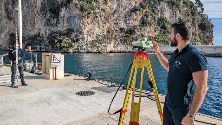
Hydrographic products and services support all activities associated with the oceans, seas and inland waterways and can help address these challenges. Hydrographic surveys collect data on a variety of ocean parameters, including depth (bathymetry), tides and sea level. To integrate this data from different geographic sources, different disciplines and different devices and to ensure it is interoperable, robust international standards are needed. As a result, the standards and frameworks developed by the IHO for navigation are being expanded to cover other applications.